🗺️ Mapping & Modeling
Precision You Can Measure
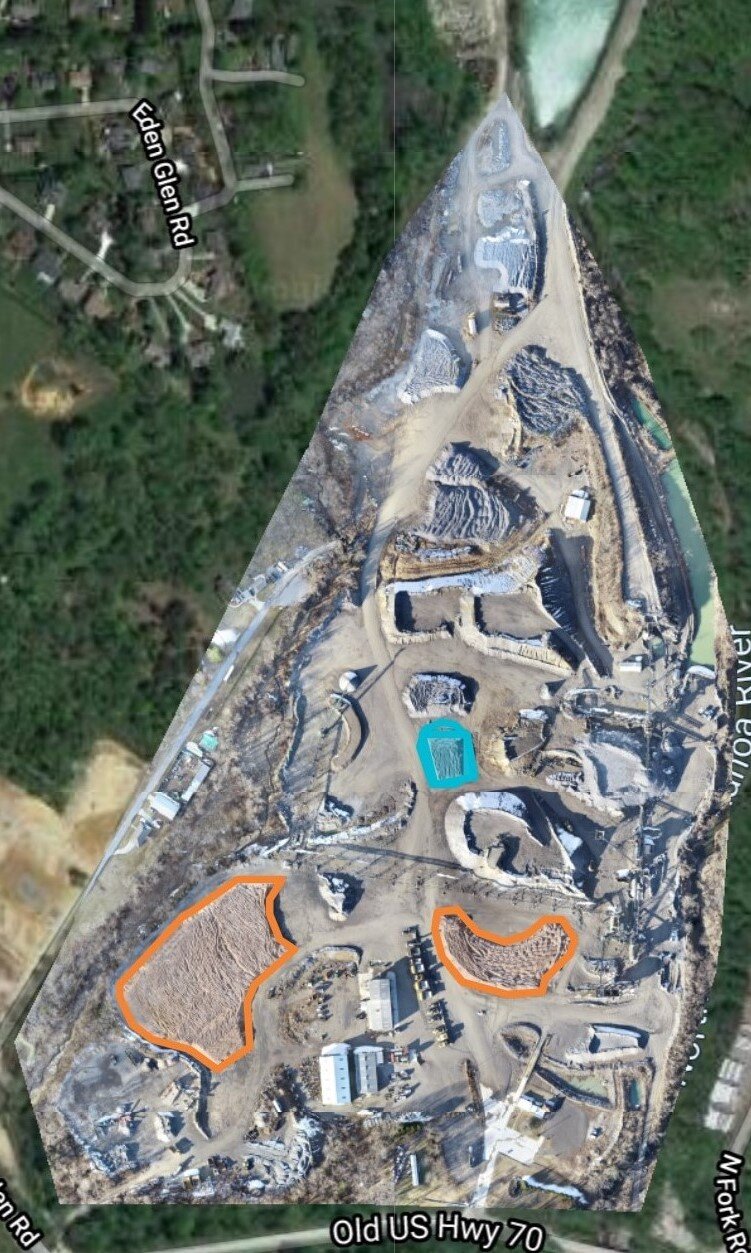
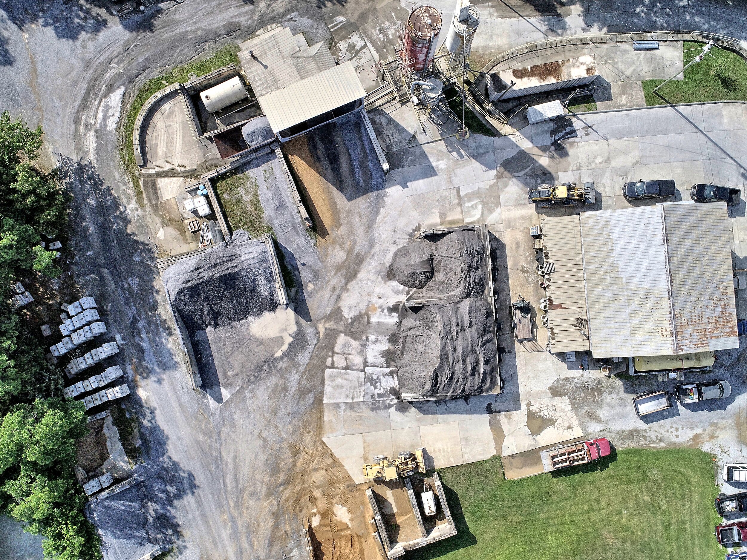
Using photogrammetry and RTK GPS-equipped drones, we generate high-resolution orthomosaics, elevation models, contour lines, and 3D surface models that can be used in CAD, GIS, or planning software.
Applications include:
Pre-construction site planning
Property boundary mapping
Volume measurements for earthwork
Flood plain overlays and terrain modeling
Whether you need a full topographic model or a visual overlay for presentations, our deliverables are accurate, accessible, and tailored to your needs.