Aerial Intelligence That Delivers
FAA-Approved Drone Services for Mapping, Imaging, and Inspections
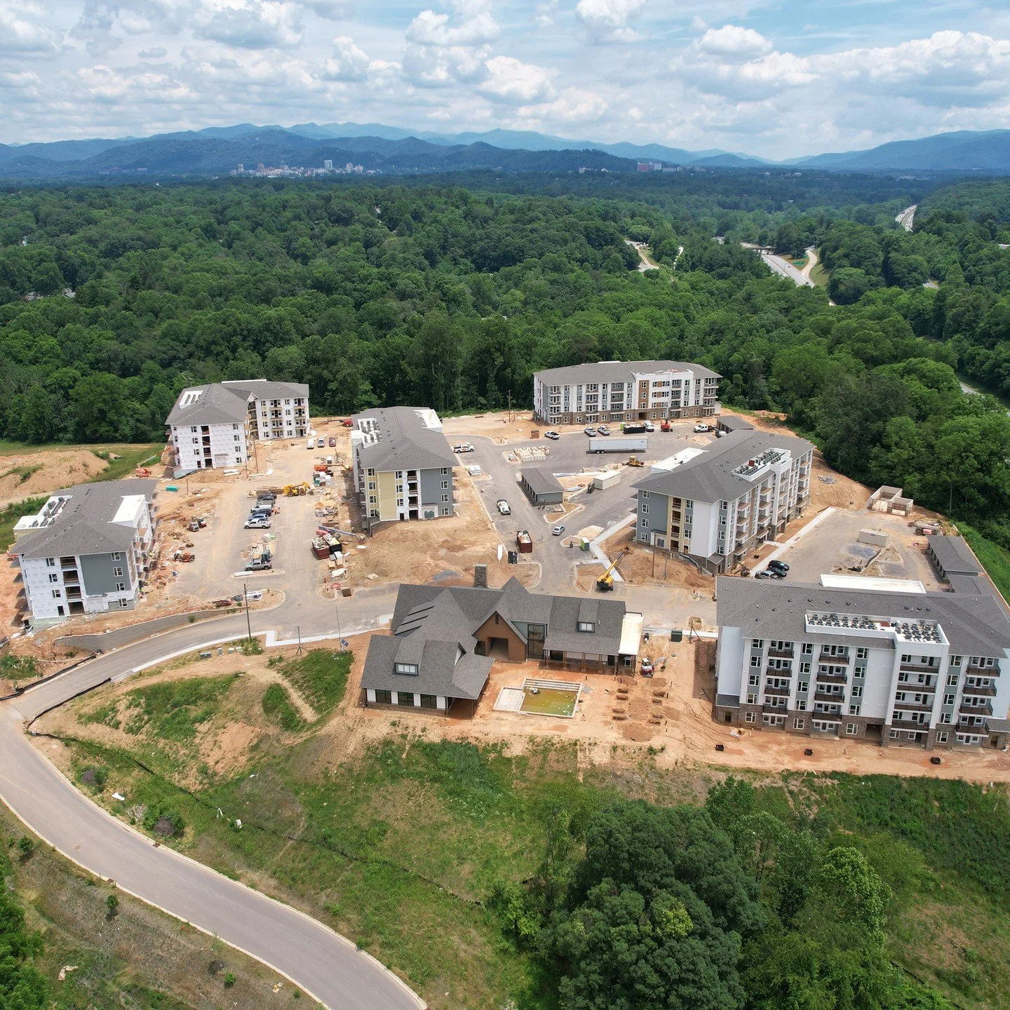
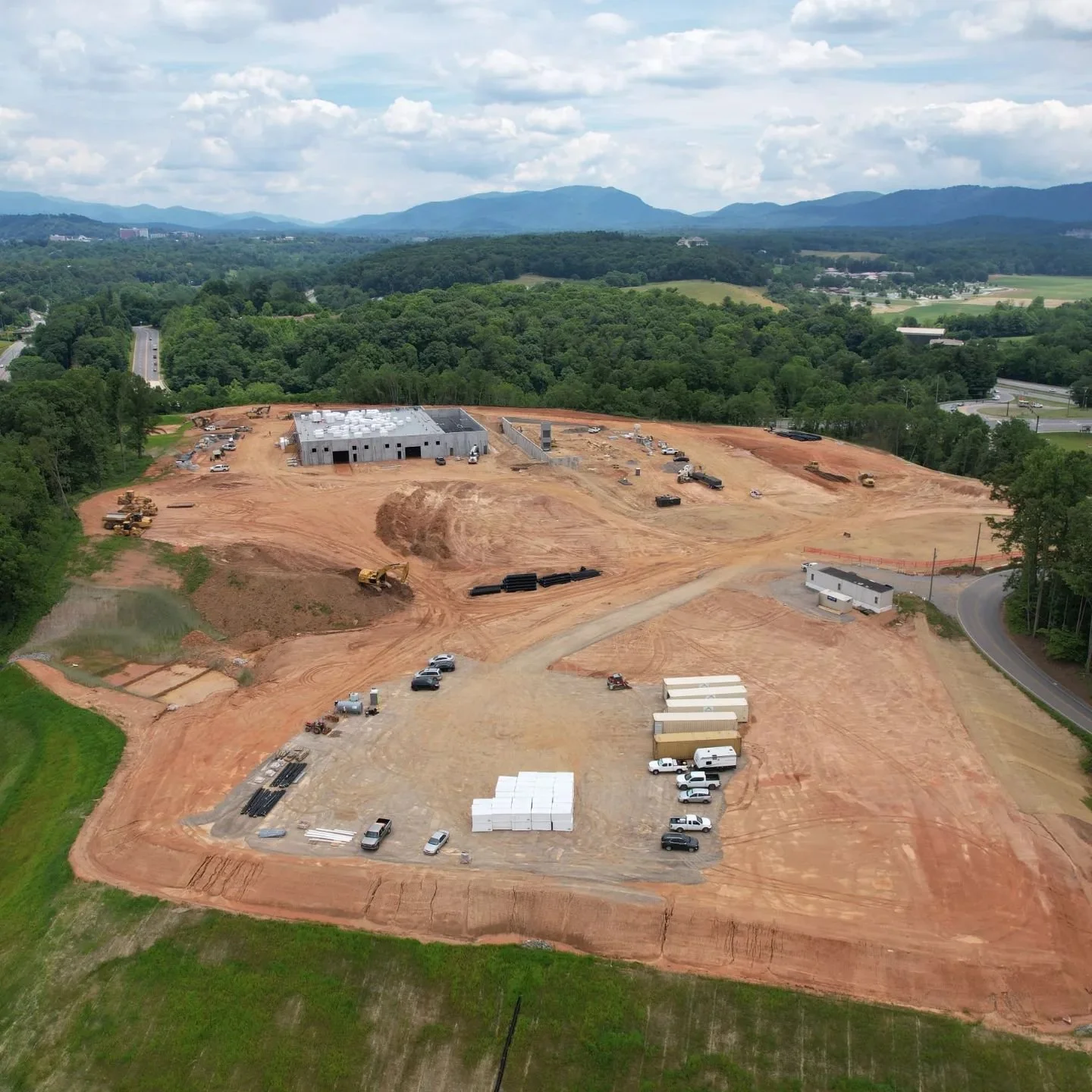
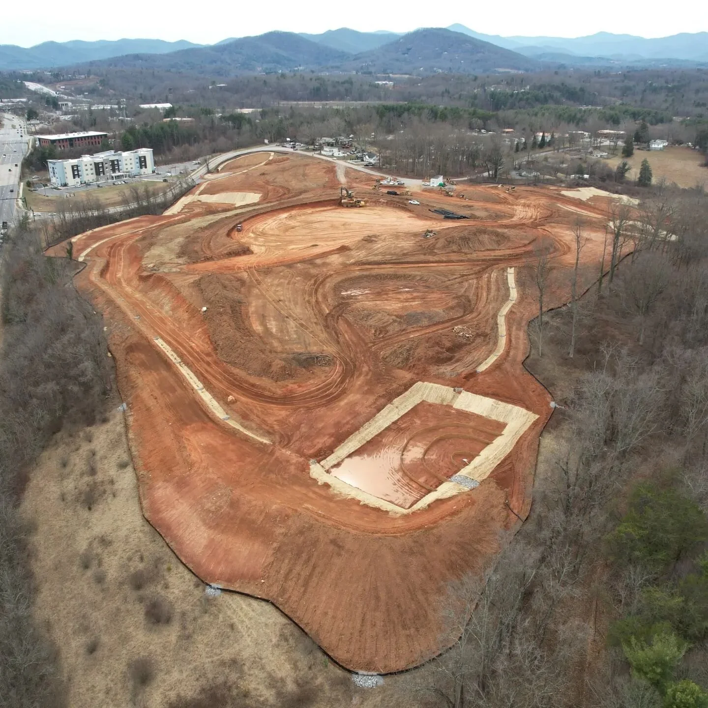
What we do
FlightUAV specializes in drone-based aerial mapping, inspections, and photogrammetry. Whether you're a contractor, land developer, or operations team, we deliver high-resolution orthomosaics, 3D models, and actionable insights — faster, safer, and more affordably than traditional methods.